

SEARCH
Collections
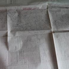
Cartographic collection and other documentation
The cartographic collection comprises 54 units, it contains 6,846 printed maps and 5,126 drawn maps, plans, sketches and diagrams. Cadastre of water objects – B includes 869 figures (1 running meter), cadastre of surface forms – C 525 figures (0.6 rm); cadastre of man-made structures – D (mines, tunnels, wells and boreholes) 85 numbers (0.1 rm), and the cadastre of the pre-war Istituto Italiano de Speleologia / Italian Speleological Institute – VG 3700 numbers (4 rm of material). Legacy funds of former colleagues, which contain typescripts, manuscripts, proofreading, photographic and other material, comprise 41 rm, and the archive of the institute's secretariat 68 rm. The data is from 2021.
Period of creating: since 1947
Project
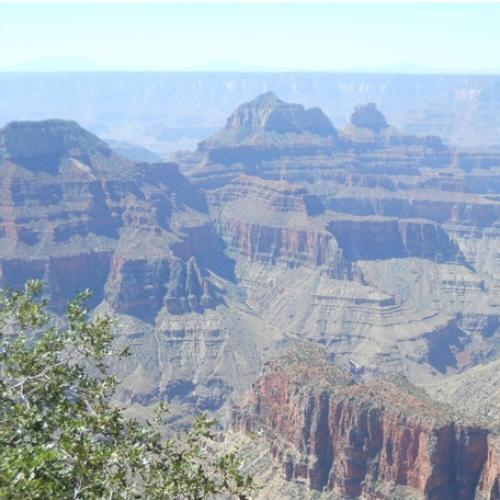
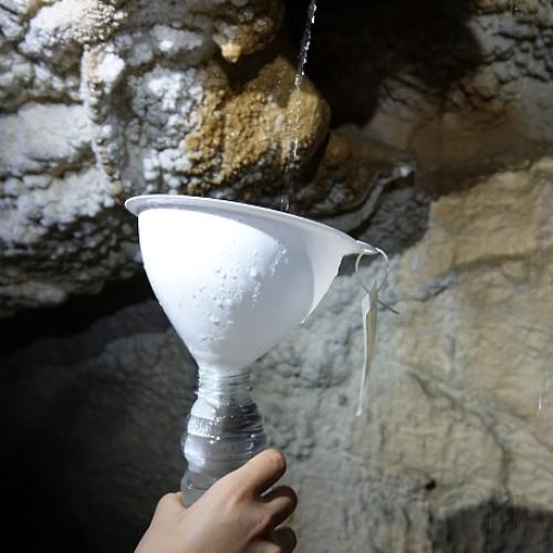
Micro-climate monitoring in show caves, comparing Grand Canyon Caverns with Slovene caves
Project Duration: 1 July 2022–30 June 2024
Project
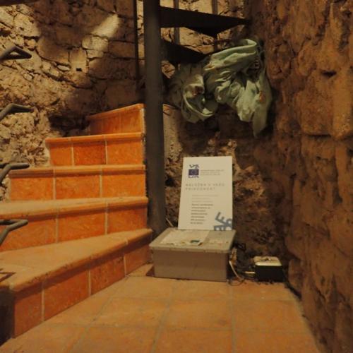
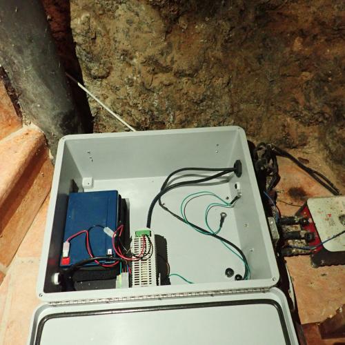
Ecohydrological study of spatio-temporal dynamics in karst critical zones under different climate conditions
Project Duration: 1 January 2021–31 December 2024
Project Leader: Nataša Ravbar, PhD
ARIS Project ID: NK-0002

News
75 years of the Karst Research Institute ZRC SAZU
New book of the Karst Research Institute ZRC SAZU
MAY 19, 2023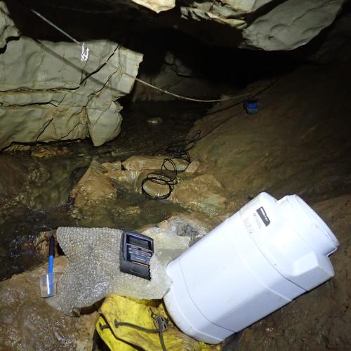
Project
TRANSFORM 2
Project Duration: 1 December 2024–31 December 2027
ARIS Project ID: 101188365 (HORIZON-INFRA-2024-DEV-01)
Project
EPOS ON
Project Duration: 1 September 2024–1 September 2027
ARIS Project ID: 101131592 (HORIZON-INFRA-2023-DEV-01-03)
News
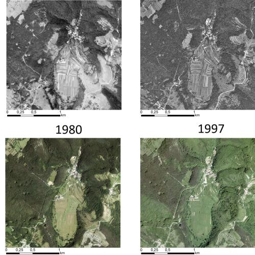
New publication in Land Degradation and Development
Multi-decadal Changes in Vegetation and Land Use Inferred from Different Data Sources: Two Case Studies at the Regional Scale in the Slovenian Karst
SEP 3, 2024